Independence Pass
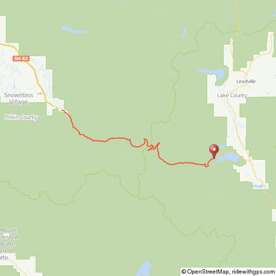
At 12,095', Independence Pass is the fourth highest paved road in Colorado. The west side from Aspen and the east side from Twin Lakes are very different in character. This ride is from Twin Lakes to the summit and back; a 35-mile round trip with 3,100' of climb (including 500' on the return) that consists of about 13 miles of rolling climbs through a valley and then 4 miles of steeper climb and switchbacks to a summit well above the tree line. Expect snow on the ground in June and maybe July!.
To get to the starting point, drive south of Leadville on US 24 and turn right (west) on CO 82. Go 6 miles to Twin Lakes where there is ample parking on the south side of the highway in the middle of town.
For a true challenge, continue over the summit and ride 18 miles down the west side to Aspen and back up; adding 36 miles and a whopping 4,400' of climb back up from Aspen for a total of 73 miles & 7,300' of climbing. Be aware that the road on the west side is narrow, sometimes less than 2 full lanes, with a number of sharp blind corners.
Twin Lakes to Independence Pass Summit
Independence Pass Road
Twin Lakes (east) side

At the Summit

Summit Biking Group Ride
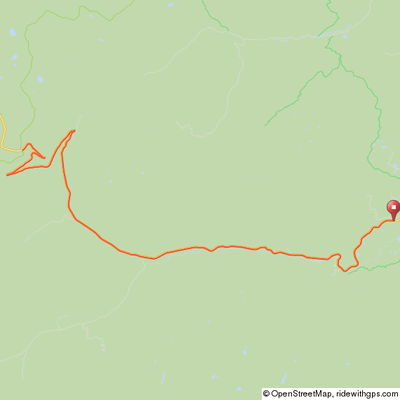
Click map for an interactive version and
downloadable GPS files.
Elevation Profile - Twin Lakes to Independence Pass

Twin Lakes to the summit & return - 34 miles, 3,000' of climb


